
Hawthorne Neighbor Sources by Block
A block lookup is a chain of records, not one official neighbor directory. The Los Angeles County Assessor can anchor a parcel and its AIN. Map Search can show the lots next to it. Hawthorne planning and zoning files can add project or land-use roles, while council and commission material can show public applicants, appointees, and meeting contacts. Neighbors appear only as the narrow role a source documents. Historical criss-cross volumes may add past occupants, but exact Hawthorne year runs were not verified.
| Source | What It Shows About a Block | Access |
|---|---|---|
| Assessor Map Search | Parcel geometry, AIN, and linked assessment facts for adjoining lots | Free; click parcels one at a time |
| Assessor Basic Search | Current assessment facts from an AIN or standardized address | Free portal; not an occupant list |
| Planning and zoning files | Land use, projects, applicants, owners, and site addresses in filed records | City resources or a focused request |
| Qualified voter file | Lawfully supplied voter data that may include nearby address fields | Authorized purpose, review, and security rules |
| Criss-cross directories | Historical occupant or subscriber sequence by house number | Library or archive; local runs need confirmation |
| Council and commission material | Petitioners, applicants, public officers, and project addresses | Agendas and files; agency redactions apply |
| Neighborhood organizations | Public officers, contact points, events, and meeting notices | Public contact only; private rosters are not assumed |
The table also shows why the word is a role word. An assessor owner may live elsewhere. A planning applicant may be a consultant. A registered voter is not every adult at an address. A historic directory subscriber may have moved before the volume was printed.
Click Out From One Hawthorne Parcel
The Los Angeles County Assessor Portal is the practical starting point for a current block. Basic Search accepts an AIN or address. Map Search provides the spatial path, but research did not verify every live layer, buffer, measure, select, or export control. Use only the controls that are actually present.
- Enter the known Hawthorne address or AIN in Basic Search. Save the situs, legal description, map context, and the Assessor Records Effective date shown with the result.
- Open Map Search, zoom to the subject parcel, and select its polygon. Record the AIN before moving outward.
- Click each adjoining polygon one at a time. Pan along both sides of the block, follow street labels, and keep a separate row for every AIN rather than inferring a neighbor from distance.
- Compare situs and legal-description clues with any mailing address or assessment facts shown. An owner mailing address can be elsewhere, and a matching address does not prove that every owner lives at the parcel.
- Use planning, zoning, or city files for project context. If the question expands to a whole named street, switch to the Hawthorne by-street record chain instead of treating a few clicked parcels as a street directory.
The flow is more precise than a guessed radius and leaves an audit trail of subject AIN, adjoining AINs, source date, and record role. It gives neighbors a parcel-based context without turning a map into a contact list.
Hawthorne’s Local Neighborhood Lines
Local names carry useful geography, but they are not interchangeable governments. Hollyglen is a distinct planned area west of I-405. Ramona, Bodger Park, and North Hawthorne are commonly used local designations. Wiseburn is a nearby community and school-district identity, not a synonym for Hawthorne city limits. A neighbor search should use those names to orient a block, then return to the AIN and municipal map for the legal location.
No official umbrella HOA member directory for Hawthorne was located in the research. Publicly posted officers, meeting notices, and organization contacts can be cited. A private association roster, congregation list, block-watch membership list, or club roll does not become a public neighbor list merely because the group serves a local area. Neighbors may share a place name without sharing a public organization or record.
| Public Contact Layer | Useful Evidence | Boundary or Privacy Caution |
|---|---|---|
| Hawthorne City Clerk and commissions | Agendas, minutes, public appointees, notices, and request routes | Civic role is not a private neighborhood roster |
| Hawthorne Planning | Land-use files, zoning context, project addresses, and applicant roles | Project participation is not proof of residence |
| Hawthorne Historical Society | Street chronology, local maps, photographs, and donated history leads | Confirm access, dates, and provenance with the custodian |
| Hawthorne Library and LA County Library | Catalog leads, yearbooks, newspapers, and local-history referrals | Closed-stack material may require staff help or a Norwalk visit |
Hawthorne City Clerk records and agendas provide public contacts. The Hawthorne Historical Society street chronology explains why an old block name may not match a current map, while Hawthorne Library is the local catalog and history fallback.
Note: A neighborhood name helps orient a search, but it does not replace the parcel’s AIN, municipal line, or source date.
Hawthorne Neighbor Terms
Parcel research gets muddled when land, mail, and people are treated as the same object. These terms keep a block record readable.
- Parcel
- A mapped unit of land tied to an AIN and legal description. One parcel can contain more than one unit or household.
- Situs address
- The physical location of the land or structure. It is the anchor for a map search, but it does not list every occupant.
- Mailing address
- The destination for tax or owner correspondence. It may be a different property, a business, a trust address, or a PO box.
- Radius or buffer
- A distance drawn around a point or parcel. The research did not verify a public Assessor Portal radius or buffer control, so a fixed-neighbor count should not be promised.
The word “adjacent” is safer than “within one block” when the map has not been measured. Clicked polygons share a spatial relationship. They do not prove a social relationship, a shared household, or current contact information for neighbors.
Hawthorne Voter Limits for Neighbors
California’s voter roll is not a public neighbor directory. My Voter Status authenticates a voter’s own record with first name, last name, date of birth, and record-dependent identity validation. It can show registration status, party preference, polling or district details, ballot status, and guide delivery preferences. It cannot be used to enter a stranger’s name or browse a Hawthorne block.
A qualified voter file is separate. Elections Code section 2194 and 2 CCR sections 19001 through 19012 restrict release to election, scholarly, journalistic, political, or governmental purposes. A geography such as a ZIP or area still requires purpose review, identifying information, fee, security certification, and the applicable application. The California voter-file request channel is not a workaround for a private street list.
Even an authorized file describes registered voters and supplied fields at a point in time. It does not cover minors, nonvoters, protected records, or every person who receives mail at a parcel. Keep voter data separate from assessor, planning, and historical directory evidence when asking about neighbors.
Hawthorne Neighbor Records Compared
Official sources are strongest when the question is narrow. Compiled commercial neighbor tools may look broader, but can combine old addresses, duplicate units, mailing data, and unrelated people. They are not a substitute for the custodian or consent-based contact.
| Channel | Strongest Evidence | What It Cannot Prove |
|---|---|---|
| Assessor and GIS | Parcel, AIN, situs, map position, and current assessment context | Every occupant, renter, unit, or person who visits |
| Planning and commissions | Filed project roles, public applicants, meeting dates, and site addresses | That an applicant or speaker lives at the site |
| Qualified voter data | Registered-voter fields released for an authorized purpose | A casual block list or a complete household count |
| Criss-cross volumes | Historical subscriber or occupant clues by year and house number | Non-subscribers, exact current status, or verified local year runs |
| Compiled commercial category | A lead that may combine public and commercial address signals | Official accuracy, current occupancy, or lawful permission to contact |
Use two independent joins before treating a name as a match, such as the same name plus AIN or a public role plus a dated filing. A similar name is a lead, not a finding about neighbors.
Note: A public contact point identifies an organization’s outward-facing role, not a private member list or every household nearby.
Hawthorne Safety Searches with Limits
Official custody and safety tools answer narrow questions. The Los Angeles County Sheriff’s Department Inmate Information Center searches county custody by name or booking number, with date of birth helping distinguish records. A jail result is not a case history or parcel roster.
The LASD Inmate Information Center is the official starting point for that custody question.
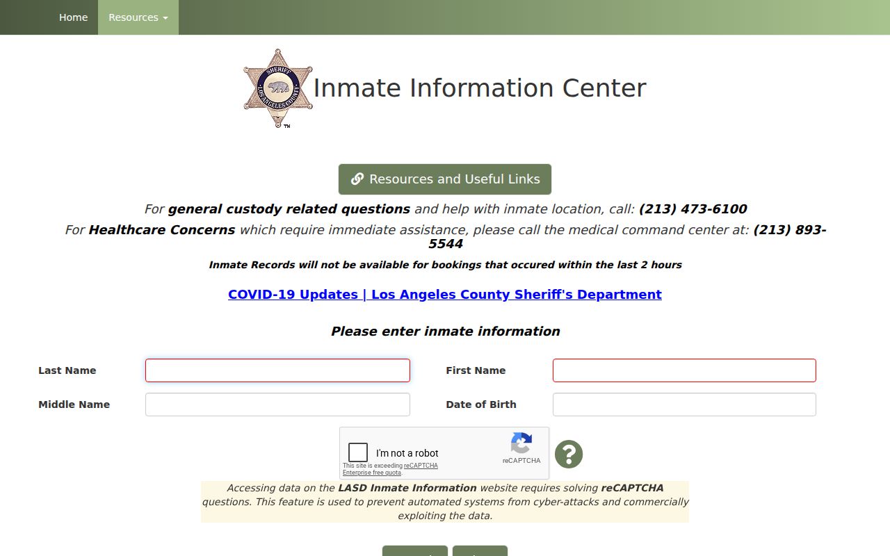
Results may show facility, booking or status details, charges, bail, and court information when available. A booking is not a conviction or a neighbor roster, and it says nothing about unrelated neighbors.
California’s Megan’s Law search is a separate statutory registry with name and map functions, exclusions, and a strict safety purpose. A map marker does not identify every resident of a parcel. Use only the official context, do not infer unrelated household members, and remember that Penal Code section 290.46 prohibits misuse.
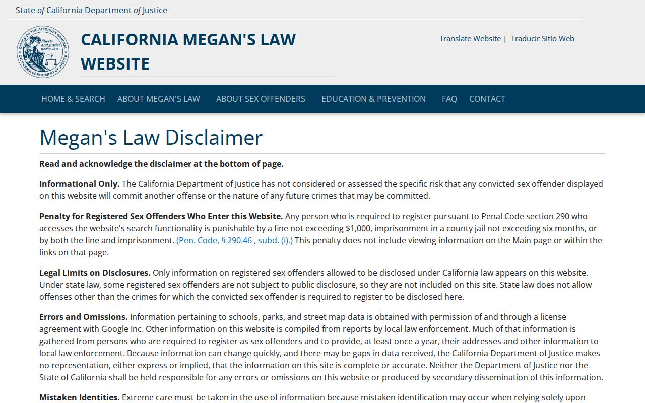
The registry’s presence or absence is one limited record, not a claim about unlisted people nearby.
Hawthorne Neighbor Contacts Beyond Parcels
Professional and business records can explain a public contact without turning a business address into a home address. The California Department of Consumer Affairs search can return a licensee name, license type and number, status, dates, city, and board-supplied discipline details. The result identifies a professional role, not a household.
The California Department of Consumer Affairs license search is the official source for that professional check.
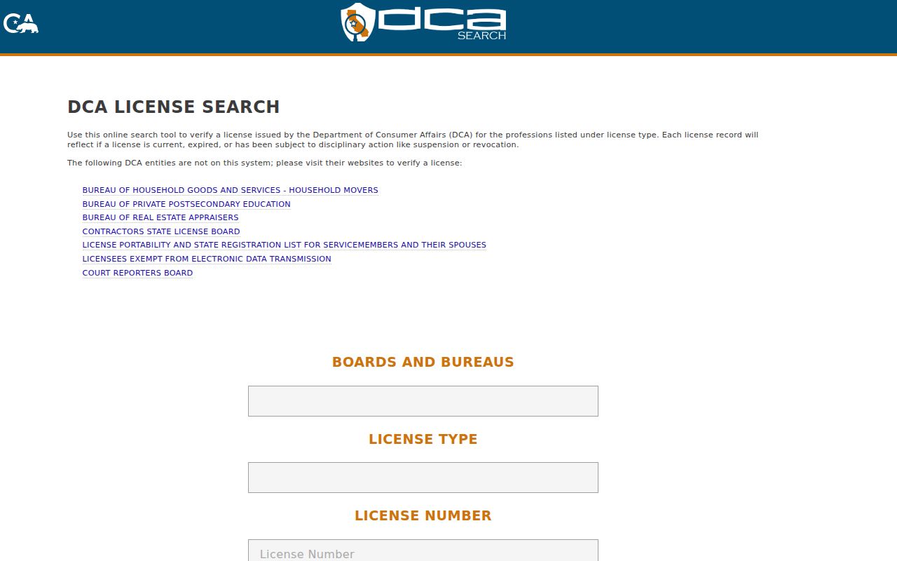
A license result can verify a public-facing contact when paired with a license number, business role, and date. It is not proof of residence or a way to identify neighbors.
California Secretary of State bizfile Online searches an entity name or number and can show status, formation details, addresses, an agent, and filing history. Filings may carry access charges. A business record concerns an entity and its filed contacts, not all people at a parcel.
The California Secretary of State business search keeps that entity question separate from a neighbor question.
These channels add public context, but do not prove a household.
Privacy at Hawthorne’s Block Edge
Renters, minors, household members, utility customers, and DMV records are not exposed as an ordinary public block list. A recorded parcel can show an owner role while revealing nothing reliable about who lives in the units. Public organizations may publish an officer or meeting contact, but private membership data remains a private layer. The same care applies to congregations, block-watch groups, school communities, and clubs.
California’s Safe at Home Address Confidentiality Program gives eligible survivors and certain participants a substitute mailing address and mail-forwarding protection. Do not try to reverse that substitute address. Recorded documents and voter records have their own statutory safeguards, and public records cannot simply be removed by asking a directory publisher.
For a focused Hawthorne planning or clerk request, describe an identifiable record, department, address or APN, and date span. The California Public Records Act generally gives an agency 10 days to determine whether responsive disclosable records exist, with a possible 14-day extension for unusual circumstances. It does not require the city to create a new block list or answer a broad question about a block.
Lawful use. Hawthorne neighbor lookups are for personal, lawful purposes such as reconnecting, civic awareness, and safety awareness. Do not use public records to stalk, harass, intimidate, or repeatedly contact anyone; public availability does not make harmful use lawful.
A responsible block record ends with the source boundary. Keep parcel facts, public roles, historical clues, and private information separate. Stop where the evidence stops.