
How Hawthorne Streets Become a Street Directory
A Hawthorne street directory begins with a street number, not a person list. Use the known address in the Los Angeles County Assessor Portal to identify the parcel and AIN. If web fields are limited, the Assessor counter or phone line is the fallback. A property result is not proof that every person at the situs lives there.
Carry the standardized address, AIN, legal description, and check date through this chain: address, Assessor, GIS, voter channel, RR/CC, library. Each source answers a different question. Label each name by role and date.
- Run Assessor Basic Search and save the AIN, situs, legal description, roll year, and effective date.
- Open Map Search, select the parcel, then click adjoining polygons one at a time along both sides of the block. Do not assume a radius or bulk export tool.
- Use California My Voter Status for the voter's own authenticated record. A street-wide file requires a qualified purpose.
- Take the current owner name, if available, and legal description to RR/CC Norwalk. Search grantor, grantee, and year because the index has no address search.
- Ask library staff for criss-cross or regional telephone volumes. Copy the exact street spelling, number, subscriber, and page, and mark the run verified or unconfirmed.
Hawthorne Street Records by Address
The Hawthorne street directory is a set of joins, not one official roster. The AIN ties a parcel to assessment and tax context. Planning files date a project role, deeds establish a grantor or grantee, and directories or qualified voter files offer different residence clues. Name the role and date beside every hit.
| Address Record | Custodian | What It Shows | Access Route |
|---|---|---|---|
| Current assessment roll | Los Angeles County Assessor | AIN, situs, legal description, roll year, values, building facts | Free portal, counter, or phone fallback |
| Parcel map | Assessor Map Search and county GIS resources | Mapped parcel shape, AIN, adjoining parcels | Click parcels individually; no advertised street export |
| Recorded instruments | Los Angeles County RR/CC | Grantor, grantee, recording year, document or book-page clue | Norwalk index; copies online, by mail, fax, or in person |
| Tax account | Los Angeles County Treasurer and Tax Collector | Payment, default, and auction context tied to an AIN | Current county tax resources |
| Planning and permits | Hawthorne Planning and City Clerk | Applicant, owner, contractor, project scope, and dates | Defined address or APN request |
| Voter record | California elections offices | Authenticated self-status or qualified-file fields | Purpose-limited channel |
| Criss-cross directory | LA County Library or California State Library | Historic subscriber, occupant, and phone clues | Catalog and reference inquiry; exact run unverified |
Read the table as a chain. A parcel can bind a map, tax record, permit, and deed, but it cannot turn every household member into a public address entry. The recorder adds ownership history, not a current street census.
Note: An AIN can connect several records, but the connected records still describe separate roles, dates, and custodians.
Search Hawthorne Addresses in the Assessor Portal
The Assessor Portal has three modes. Basic Search accepts an AIN or standardized address. Legal Search serves the legal-description side, and Map Search lets a researcher pan, zoom, and select a parcel. The public interface does not advertise an owner-name search, so a known address, AIN, tract, lot, or block clue is the better start.
| Field or Control | Type | Required | Format or Use |
|---|---|---|---|
| Search by AIN or Address | Text/autocomplete | Yes | AIN or standardized street address |
| Basic Search | Tab/button | Mode | Direct AIN or address search |
| Legal Search | Tab/button | Mode | Legal-description-oriented search; live subfields should be checked at use |
| Map Search | Tab/button | Mode | Pan, zoom, and select a mapped parcel |
| Search | Button/icon | Yes | Executes the selected query |
A result can include the AIN, situs, legal description or map reference, roll year, effective date, assessed values, building facts, and map context. Owner mailing visibility may be constrained online. Record the effective date because the result is a time-stamped tax record.
Use the counter when the web result does not answer an ownership or roll question. A mailing address may point to another property, post office box, business, or trustee, and does not establish occupancy.
Parcel Terms Behind a Hawthorne Street Directory
Address research gets cleaner when land terms stay separate. A street number is a delivery label. The AIN joins county systems. A deed's legal description may outlast a street name, while a plat can explain why nearby numbers do not line up.
- Parcel
- A defined piece of land represented in the assessment and mapping systems, usually tied to an AIN and legal description.
- Situs address
- The physical location of the land. It is not the same as the owner's tax-mailing address or a directory subscriber's address.
- Plat
- A recorded map of a tract or subdivision that shows the layout of lots, blocks, streets, and related legal lines.
- Criss-cross directory
- A reverse directory arranged by street and house number, often showing a subscriber or occupant and telephone number; exact Hawthorne runs are not verified.
Use the situs to locate land, the AIN to join systems, the plat or legal description to bridge older records, and a criss-cross volume to test a household clue. None names everyone connected with the property.
Click Hawthorne Parcels Along the Block
The Assessor Map Search moves from one Hawthorne address to nearby parcels. Enter the address or AIN, zoom to parcel lines and street labels, select the polygon, save its AIN, and click adjoining polygons one at a time. Pan both sides of the block instead of inferring neighbors from house numbers.
The map can expose a corner lot, alley-facing parcel, split lot, or odd unit pattern. The research capture did not expose a complete layer list, buffer, measure, select-all, or export workflow, so promise parcel-by-parcel clicking only. That method keeps a Hawthorne street directory grounded in mapped AINs instead of guessed household proximity.
Compare each selected AIN and legal description with the assessment result. Ask the county or city office about an apparent gap rather than drawing a boundary from the screen.
Hawthorne Deeds Need a Name Search
Los Angeles County keeps real-estate records from 1851 to the present, but RR/CC does not publish its grantor and grantee index on the Internet. The official explanation cites concern about exposing protected officials' home addresses. Search in person by name and recording year at Norwalk; there is no address or telephone index search.
Real-estate material from 1851-1957 is on the lower level, while 1958-present is on the second floor. After an index hit supplies a document or book-page clue, copies can be requested online, by mail, fax, or in person. The online order page states 20 working days from receipt. A copy is an instrument, not a free web image or occupancy list.
For the copy step, use the Los Angeles County RR/CC real-estate records request page after the Norwalk index visit.
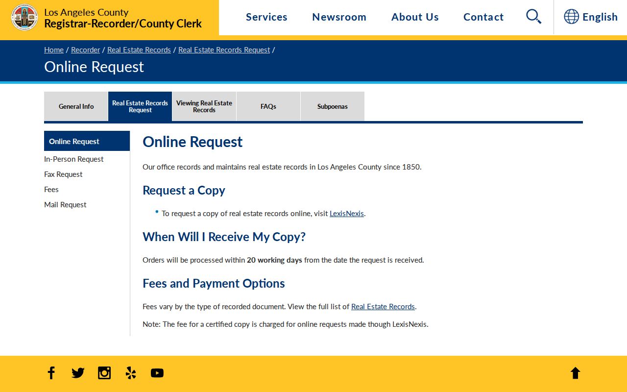
The request image shows the second half of the process: locate the instrument by grantor, grantee, and year, then use an official copy channel.
Search the current owner as grantee in the likely acquisition year. The grantor is the prior owner, so repeat backward. Separate deeds, deeds of trust, reconveyances, liens, co-owner quitclaims, and trust transfers by type. The legal description keeps a similar name or nearby street from pulling the chain onto another parcel.
Hawthorne Planning Files by Address
City records add another address layer. The Hawthorne City Clerk handles minutes, ordinances, contracts, planning files, permits, identifiable police or administrative records, and requests. The Hawthorne Planning Department supplies zoning and entitlement resources. Name the address or APN, department, date range, record type, and delivery choice. The city need not create a new roster.
Permits may show an owner or contact, contractor, scope, valuation, and issue or final dates. Planning files can name an applicant or representative. Code files may show inspection or compliance dates; complaint and investigative details may be withheld. These roles date a project, not everyone at the site.
Requests can be emailed to cityclerk@cityofhawthorne.org. City Hall is at 4455 W. 126th Street, Hawthorne, California 90250; the main number is (310) 349-2900 and clerk line (310) 349-2915. Clerk counter hours are listed as 9:00-11:00 a.m. and 2:30-4:30 p.m. Monday through Thursday. The city generally determines disclosability within 10 calendar days, with up to 14 additional days for unusual circumstances.
The Los Angeles County Treasurer and Tax Collector is a separate custodian for tax bills, defaults, and auction material tied to an AIN.
This county tax image is a reminder to keep tax status separate from the assessor's parcel facts and the recorder's deed chain.
A Hawthorne Street Is Not a Voter Directory
California My Voter Status authenticates the voter checking their own record. It asks for first name, last name, date of birth, and a driver-license, state-ID, or last-four-SSN validation when supported. Results can show status, party preference, polling place, district, ballot status, and guide delivery.
It cannot accept a stranger's name for a casual street search. Elections Code section 2194 and 2 CCR sections 19001-19012 limit full voter data to election, scholarly, journalistic, political, or governmental purposes. A qualified file request needs purpose, geography, fields, certification, security acknowledgment, and fee. The stated statewide fee is $100; a specific-voter request is $30 each, capped at $100 for up to ten names.
Use the official California voter-file request information for a qualified purpose. CPRA is not a workaround. Label a result as a permitted voter record, not everyone at an address.
Hawthorne Streets That Changed Names
Hawthorne's address history can make one parcel look like two places. The Hawthorne Historical Society street chronology starts with the 1905 townsite. Ballona became El Segundo Boulevard around 1914, Hawthorne Avenue became Hawthorne Boulevard in the 1930s, and named east-west streets changed to numbers between 1935 and 1938.
When an old deed, newspaper, permit, or directory misses the modern label, search both forms. Use the AIN, tract, lot, block, and legal description to test continuity. Preserve words such as “around” or “probably” and do not turn local approximation into a false exact date.
A current address is the right starting point for an older record only after this bridge is made. The backward one-address method belongs with the Past Residents workflow.
Read Hawthorne Streets in Criss-Cross Volumes
The Hawthorne Library at 12700 Grevillea Avenue is a local reference start; its listed phone is (310) 679-8193. Ask staff to search “Hawthorne Calif,” former street names, yearbooks, telephone directories, and South Bay titles rather than assuming an independent Hawthorne volume.
Deeper material is in the LA County Library Californiana Collection at Norwalk's closed stacks. It lists more than 24,000 books, over 200 newspaper and magazine titles, 1850-1910 census schedules, the Los Angeles Star from 1851-1879, nineteenth-century city directories, county histories, and state documents. The California State Library adds city-directory and telephone-book holdings that may bundle Hawthorne into regional titles.
No official catalog result verified an exact Hawthorne Polk or Haines criss-cross run. Do not invent years. Ask for volume title, year, page, and street-number sequence, then transcribe the entry. When staff locate a regional run, its street-order pages can extend the Hawthorne street directory backward without pretending to be a current household list. An absent volume or subscriber leaves no conclusion about the household.
Limits of a Hawthorne Street Directory
Property records identify land and recorded roles. They do not supply a complete household list. The assessment roll is for tax purposes. An owner mailing address may be elsewhere, and a legal description can cover a parcel with more than one unit. Deeds can name a trust, business, or co-owner. Planning files describe a project. A criss-cross entry reflects a particular volume and subscriber choice. None of these sources should be read as proof that every person connected with the address is present today.
Some address trails are protected or simply absent. DMV and utility customer data are not ordinary public street directories. Safe-address arrangements and confidential voter records require special care. If a record appears wrong, take the issue to the custodian that created it. A publisher cannot correct an Assessor roll, RR/CC instrument, city permit, or voter record by changing a summary.
Lawful personal use. Hawthorne records may support family history, parcel research, civic review, or personal safety. Public availability does not permit stalking, harassment, intimidation, or repeated unwanted contact. Protected-address programs and other confidentiality rules must be respected.
Note: A careful street directory states the source, role, date, and access limit beside every useful name or parcel clue.